7 Tips to Choose the Best Marine GPS & Chartplotter (2023)
Navigating the open seas can pose many challenges for any mariner.
One of the most essential tools to master these trials is a reliable marine GPS and chartplotter.
However, the market is saturated with numerous models, making the decision process overwhelming.
Selecting the ideal model that incorporates your specific needs requires sound knowledge and understanding.
In this regard, we provide invaluable insights that aim to simplify this process for you.
We delve into key features to consider, distinguishing essentials from non-essentials and the cutting-edge technologies that enhance functionality.
Tips To Choose The Best Marine Gps & Chartplotter
1. Opt for high-resolution, sunlight-readable display.
A crucial consideration when choosing a marine GPS and chartplotter is the quality of the display . The display should be high-resolution to allow clear and concise reading.
This essentially means that the pictures, maps, and figures that the GPS presents should not be pixelated or blurred, as this may result in misinterpretation of data.
Furthermore, the display should be sunlight-readable . This means that it should still be clearly visible even under direct sunlight. This is an important feature for marine adventures because boating and sailing are outdoor activities, often conducted under the glare of the sun.
Without a sunlight-readable display, you may find it difficult to read the data on your screen, which can potentially lead to navigation errors .
A high-resolution, sunlight-readable display is, therefore, a necessary trait for marine GPS and chartplotters.
This display is particularly essential when traversing unfamiliar waters, where the guidance of a GPS is much needed. With a low-resolution display or one that isn’t sunlight-readable, you might find it challenging to interpret the GPS data correctly, potentially leading you off course or into dangerous areas.
An inferior display could also strain your eyes , especially if you’re trying to read it in bright daylight. Sunshine reflecting on your screen could make the details hard to discern, causing unnecessary discomfort and distraction.
Moreover, considering the unpredictable nature of the sea or ocean climate, you never know when you might need your device in broad daylight. As such, having a device that remains clearly readable regardless of the harsh sunlight is mandatory for a better, safer experience.
In addition to the resolution and readability in sunlight, you should also consider going for a marine GPS with a larger screen . This would give you the advantage of viewing multiple data simultaneously, without needing to toggle between screens frequently.
The above video showcases an in-depth analysis of various marine GPS systems. It gives detailed descriptions and visuals of different models, their features, and capabilities. Observing these navigation systems in action will provide handy insights about the display quality and readability under sunlight of various brands.
Before settling for any particular model, make sure to compare and contrast the screen characteristics of different models. The one you ultimately choose should give you the best balance of resolution, sunlight readability, and screen size.
While doing so, remember that display quality could significantly affect the overall usability and efficiency of your marine GPS and chartplotter. Thus you may not want to compromise on this feature for the sake of cost or any other factor.
2. Ensure it has current, extensive marine chart database
Having a marine GPS and chartplotter with a current and extensive marine chart database is paramount when it comes to successful marine navigation.
The quality of the data contained in the chart database can directly impact your ability to navigate safely and effectively.
An extensive chart database doesn’t only mean it’s rich in quantity, but it should also be highly detailed and accurate.
Having a high-quality marine chart database in your GPS unit can significantly reduce your chances of encountering unexpected hazards and improve your overall boating experience.
This is because an up-to-date and detailed chart database can guide you through complex waterways, avoiding possible hazards such as shallow waters and hidden obstacles.
It can help you predict tides, currents, and weather conditions ahead of time, ensuring a safer and smoother journey.
Some high-end GPS units come preloaded with a vast marine chart database. However, the ability to update or add more charts is also a beneficial feature.
Having the ability to update your marine chart database enables you to keep up with any changes in the marine geography due to natural or man-made influences.
Additionally, the feature of chart expansion gives room for the addition of more specialized charts suitable for different types of boating activities, such as fishing, scuba diving, and sailing.
When considering a marine chart database, also look for the ease of readability of the charts.
Charts should ideally display data in a clear manner that can be easily interpreted even while in motion and under different light conditions.
Features like 3D chart viewing and satellite imagery overlay can also greatly enhance the functionality and usability of your marine chartplotter .
In essence, the quality and extent of the marine chart database in your GPS unit is a critical consideration in your pursuit of a hassle-free and safe marine journey.
Therefore, always ensure that the marine GPS and chartplotter you select are equipped with a current and extensive marine chart database.
3. Select GPS with built-in sonar capabilities
One of the most important features when selecting a marine GPS and chartplotter is to opt for one with built-in sonar capabilities .
A sonar-enabled GPS enables you to explore the underwater topography and detect objects, enhancing your navigational abilities.
This video delves into the usage of GPS’s Auto Guidance system, offering a clearer understanding. It covers the advantages of the system and how to properly utilize it to your advantage.
A sonar system can provide critical readings of the depth of the water , the temperature , and even the presence of fish .
Having a GPS with sonar capabilities considerably improves the overall performance of the device.
Adding value to the quote, a sonar GPS can also detect underwater wrecks, plants or trees, thus preventing unwanted accidents. It’s the equivalent of having a “second eye” underwater, providing an additional layer of safety during your marine travels, and considerably loosening the margin of error.
A good marine GPS and chartplotter should have compatibility with different sonar types, such as broadband, CHIRP, DownScan, and SideScan.
It’s also important that the GPS provides clear and accurate readings of the sonar data.
The ability for the GPS’s sonar to keep proper track, detecting fish or structures even when moving at higher speed, is a crucial feature of the tool.
Marine GPS with sonar capabilities often come with built-in maps that enable you to see the underwater curvature and structure in relation to your current location.
Moreover, investing in a marine GPS with upgradable sonar capabilities could be beneficial. As technology advances, newer and more sophisticated sonar technology might emerge, and having the option for upgrades would keep your GPS relevant and efficient.
Also, look for a GPS device with a larger cone angle , which provides a wider area of sonar coverage.
Lastly, ensure the unit has a deep enough depth capability to suit your boating needs. Because sonar operates by sending sound waves into the water and “reading” the way they bounce back, the depth capability of your GPS sonar should match the depths of the waters in which you will be boating.
Bearing all these in mind would ensure you select a marine GPS and chartplotter equipped with the most essential and helpful sonar features .
4. Choose Model with Robust, Water-Resistant Build
In the world of marine equipment, the durability of a device like a marine GPS and chartplotter is crucially important.
You wouldn’t want to invest in a piece of technology that cannot survive the rigors of on-the-water experiences .
Therefore, when considering the physical build of the GPS model, you should be eyeing ones with a robust structure.
Robustness implies that the gadget can withstand some aggressive handling, occasional dropping, and impact.
Note that sailing or angling trips can frequently become rough ventures, so your maritime gadgets must be able to handle these circumstances.
This is not ordinary tech gadgetry where aesthetics can outweigh practicality.
Being in a marine environment, water resistance is another vital feature to look out for.
The resistance to salt water is even more important as salt can be corrosive and degrade the device over time.
Many marine GPS and chartplotters come with water-resistance ratings, such as IPX7, indicating that they can be submerged in 1 meter of water for up to 30 minutes without suffering damage.
The higher the water resistance rating, the better.
While it doesn’t mean that the device should be left intentionally in water, it implies that incidental splashes or brief dunking wouldn’t harm it .
If an accident happens and you drop your GPS and Chartplotter unit into the sea, a high water resistance rating gives you a safety net.
In relation to this, you should also check if the gadget is designed to float on water.
While most rugged , high-quality marine GPS units are designed to be heavy enough to endure the tough marine conditions, some are lightweight enough to remain buoyant.
This means that even if the device accidentally slips into the water, it won’t sink to the bottom, making it easier to retrieve.
Strong build materials are also crucial for the durability of your marine GPS and chartplotter.
The ideal unit should be housed in a corrosion-resistant material like hardened plastic or marine-grade steel.
It should also have sturdy buttons that won’t easily get dislodged or malfunction with heavy use.
“The materials used in the construction of the device can seriously impact the longevity of the unit.”
Moreover, marine GPS and chartplotters are likely to be exposed not just to water, but also to sunlight and wind.
Such constant exposure can cause the device to degrade faster, especially if it does not come with a protective casing.
As a result, it’s beneficial to choose models that come with additional protective features like anti-scratch surfaces, UV resistance, or a protective case.
Remember, the overall build quality of the marine GPS and chartplotter does not only contribute to its longevity but can also impact its performance and reliability.
And, most importantly, it always pays to choose marine GPS and chartplotters that are built and designed by trusted manufacturers known for their quality products.
5. Verify unit comes with an adequate warranty.
A warranty is a vital factor to consider when buying a marine GPS and chartplotter. Marine devices can prove to be quite an investment hence, securing them with a proper warranty is essential.
Generally, reputable marine GPS manufacturers offer warranties, but it’s always good to verify firsthand.
Ensure to clarify what the warranty covers. It’s essential to know whether the warranty covers only certain parts or the full device.
Remember, a more extensive warranty often provides better protection but may come with a higher price tag.
Keep in mind that not all expensive devices come with extensive warranties. Often, the price of the product doesn’t correlate with the length or coverage of the warranty.
Therefore, it feels safe to say that, before finalizing your purchase, spend extra time understanding the warranty terms can protect you from unforeseen future expenses.
Consider whether the warranty also covers problems that could arise from software updates and not just hardware damage.
Also, consider the ease of claiming the warranty. Some brands require the device to be shipped back to the manufacturer for repair, potentially leaving you without a GPS for an extended period.
If possible, opt for warranties that offer onsite repair service or provide a temporary replacement unit while the device is being fixed.
Note that warranties typically don’t cover damage resulting from misuse or neglect, but rather faults that arise from regular use or manufacturing defects.
Furthermore, understand that the warranty is an extension of your investment. It is not just a piece of paper but a commitment from the company to ensure that your device performs as expected for a certain period.
Now that you’ve got a good grasp of the importance of evaluating a product’s warranty, you might want to check this informative video. It provides practical tips that can aid you in effectively navigating the sea with the help of advanced marine GPS and chartplotters.
By watching, you may pick up some useful pointers for your next boating adventure.
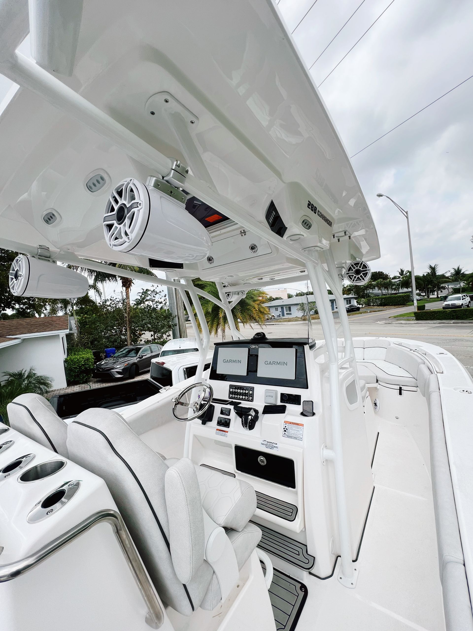
6. Ensure unit compatibility with your boat systems
When considering purchasing a Marine GPS & Chartplotter , it is essential that you choose a unit that is compatible with your boat’s other systems .
For instance, your boat may already have integrated navigation equipment like a compass, an autopilot or depth finder.
If the Marine GPS & Chartplotter you select cannot communicate efficiently with these existing systems, then you may face significant difficulties while navigating.
An incompatible Marine GPS & Chartplotter could also lead to potentially dangerous situations on water, where you need all your navigation systems to function accurately and in sync.
Therefore it’s vital to ensure that the marine electronics you choose, particularly your Marine GPS & Chartplotter, are able to seamlessly integrate with your boat’s existing equipment.
This is not merely about ensuring they can function side by side , but that they can truly operate as a single, interconnected navigation network.
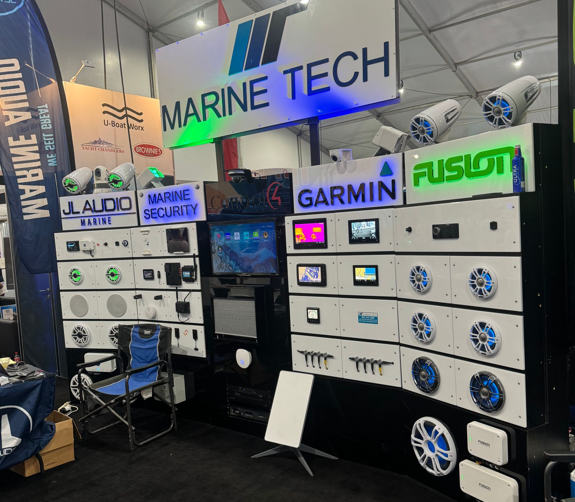
When selecting a Marine GPS & Chartplotter, check its specifications to verify whether it supports NMEA (National Marine Electronics Association) standards, especially if your boat’s devices do.
The NMEA sets universal standards for data exchange in marine electronics and ensures that devices from different manufacturers can communicate with each other.
Models supporting NMEA 0183 or NMEA 2000 should be preferred since they can make the integration process easier with a variety of marine electronics devices.
You might also want to consider a Marine GPS & Chartplotter that supports wireless connectivity .
This feature can simplify the syncing process with other devices and could also enable you to use your GPS Chartplotter to broadcast data to other devices on your boat, like tablets or smartphones.
When selecting your unit, also pay attention to the physical compatibility of the device with your boat.
If your boat’s console layout doesn’t accommodate the GPS & Chartplotter you want, it may require additional modifications , thus increasing your expense.
Before finalizing your purchase, it’s a good idea to seek out the help of a marine electronics professional or dealer to discuss your compatibility requirements.
This could help prevent common pitfalls and help you find a Marine GPS & Chartplotter that perfectly fits with your boat’s systems.
7. Consider user-friendly models for a simpler navigation.
When selecting a marine GPS and chartplotter for your boat, it’s advisable to particularly consider user-friendly models that make navigation simpler and stress-free.
Don’t overlook the importance of intuitiveness and ease of use when it comes to navigating on water.
Finding your way through diverse waterways can be intricate and challenging, so a marine GPS that has a straightforward and simplistic interface will be an invaluable asset.
The ease of use of a marine GPS system essentially means the difference between a smooth, safe sailing journey and a frustrating, potentionally hazardous one.
Simplicity translates to efficiency and safety on water, and it can make your sailing experience significantly more enjoyable and less stressful.
You want a unit that does not require a steep learning curve, so you can immediately hit the waters and start exploring as soon as your GPS is installed.
In an emergency or unfavorable situation, an easy-to-operate GPS system can make all the difference, giving you immediate access to necessary information and helping you control the situation more effectively.
The level of usability also directly impacts the functionality and performance of the marine GPS.
Users will also find it beneficial if the marine GPS has a customizable home screen , sot they can choose which data to see at the forefront and focus on what matters the most to them.
Get a hang of marine navigation by watching this video. It discusses how a GPS and chartplotter can be leveraged to their full potential, which is particularly useful for novice boat owners.
Many marine GPS units come with video tutorials or step-by-step guides which can also be very helpful.
It’s important to remember that a GPS is an essential tool for safety as well expect it to be usable even in harsh weather conditions or in times of stress.
To this end, larger buttons, straightforward menus, and simple, easily understandable icons are things to look out for.
Therefore, in the quest to find the best marine GPS and chartplotter for your boating needs, user-friendliness should be high on your list of priorities.
User-friendly models promote a easier, safer, and more pleasant boating experience.
The Bottom Line
Choosing the right GPS for your boat requires careful consideration and thoughtful research.
Prioritizing a high-resolution, sunlight-readable display is essential to aid readability under various weather conditions.
Notably, GPS with built-in sonar capabilities and a current, extensive marine chart database can enhance your navigational experiences.
A robust, water-resistant build is non-negotiable for durability, just as ensuring the GPS unit is compatible with your boat systems, and comes with a solid warranty is crucial for reliability and peace of mind.
Finally, opting for user-friendly models can simplify your navigation, making your voyages both enjoyable and safe.
Thus, it’s crucial to keep these factors in mind to ensure a value-for-money investment in a boat GPS.
Contact Us
Contact Us
Recent Posts
CONTACT US
Looking to upgrade your marine electronics?
With more than 25 years of experience, we can help you get started today!